
Lows Lake in October, an Adirondack Adventure
You can't let little problems like a busted canoe carrier and torrential rains deter you if you want to enjoy the Adirondacks in October
The fall colors, crisp weather, and the lack of pesky insects make October an ideal time to get out for an extended Adirondack camping trip. As October 2024 got going I was aiming at Lows Lake. The standard canoe put-in at Lows Lower Dam had been closed for two years while the state did a major rehab of the dam, but in early October we were hearing that the reopening was imminent. I had a full week set aside for camping, but as the days ticked by, and with a forecast of mostly dry weather, I decided to use the alternate access route.
That meant putting my canoe on a carrier and wheeling it, along with the rest of my gear, two miles on the Hitchins Pond Overlook trail. This is actually a dirt maintenance road that leads to the Bog River at Lows Upper Dam. It's fairly smooth going and rolling the heavily loaded carrier was easier than expected. Especially because my wife Elle, and cousin Judy, went along for the walk and they both showed a natural talent for canoe rolling. Right up to the point where one of the wheels came off. Luckily, we were nearly within sight of the put-in when that happened.

The Bog River Flow Lows Lake Complex. It's 13 miles from the Lower Dam put-in to the western end of Lows Lake. The western end of Lows Lake is in the Five Ponds Wilderness Area, providing access to some of the most remote country in the Adirondacks.
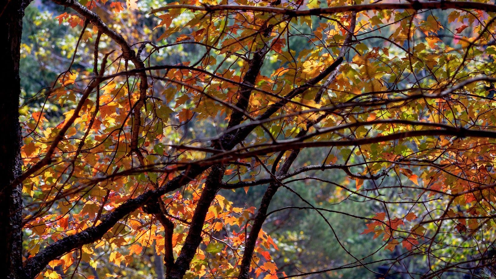
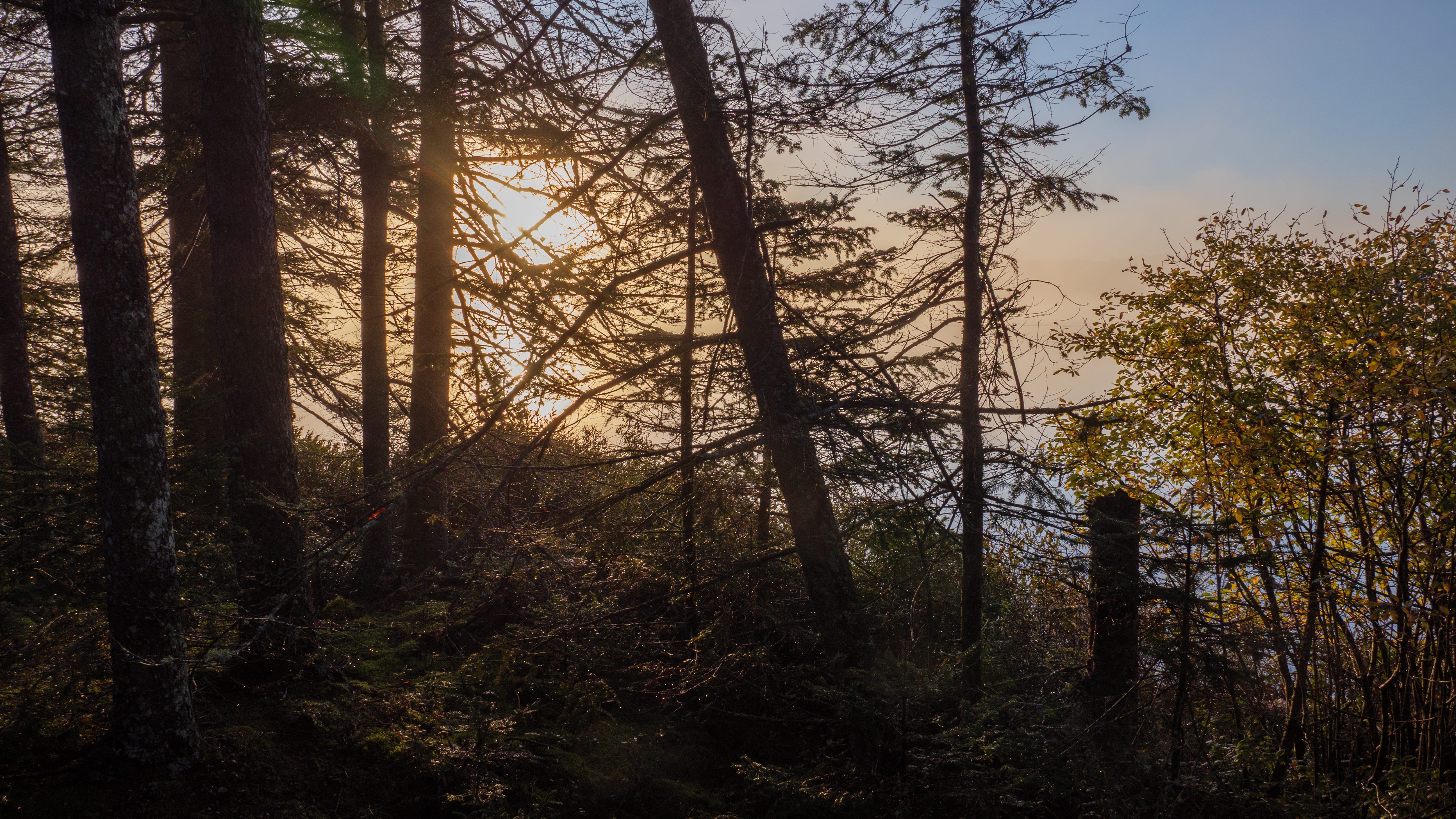
Fall color along the Bog River
We carried everything that last bit and Elle agreed to hike in later in the week with the part and tools I would need to fix the carrier for the trip back out. It turned out this wasn't necessary. While I was camping Elle learned that the lower dam access would reopen that week, and with more help from Judy, she could reposition the car allowing me to come out via that much easier route. As I write this the 2025 canoeing season is just a couple of weeks away and the road to the lower dam remains closed for mud season. Once the road firms up the canoe put-in at the Lower Dam will once again be the standard way onto the Bog River Flow and up onto Low Lake.
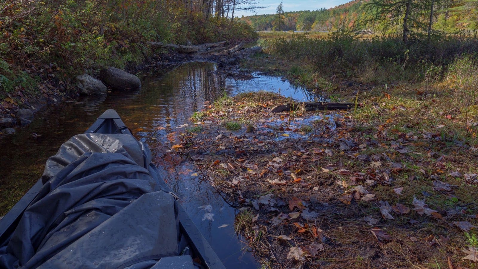
The infamous Bog River floating bog mat. The entire flow of the Bog River passes underneath this obstacle about a mile above the Upper Dam. A shallow muddy channel passes along one side where, depending on the water level, you can drag or carry your canoe around the blockage. While you are there, probably cursing the mud, take a moment to marvel at the vegetation that lives on top of this organic Island.
But back to the trip. As we tugged the canoe along behind us we passed several groups hauling their gear out. Later, as I paddled up the Bog River towards Lows Lake I passed more groups heading out. After that I never saw another person until I was back at the parking lot five days later. Lows Lake is a big body of water, with 40 or so widely scattered backcountry campsites, so even in prime season you might not see a lot of people. But seeing no one is unusual. Somehow I had the entire place all to myself.
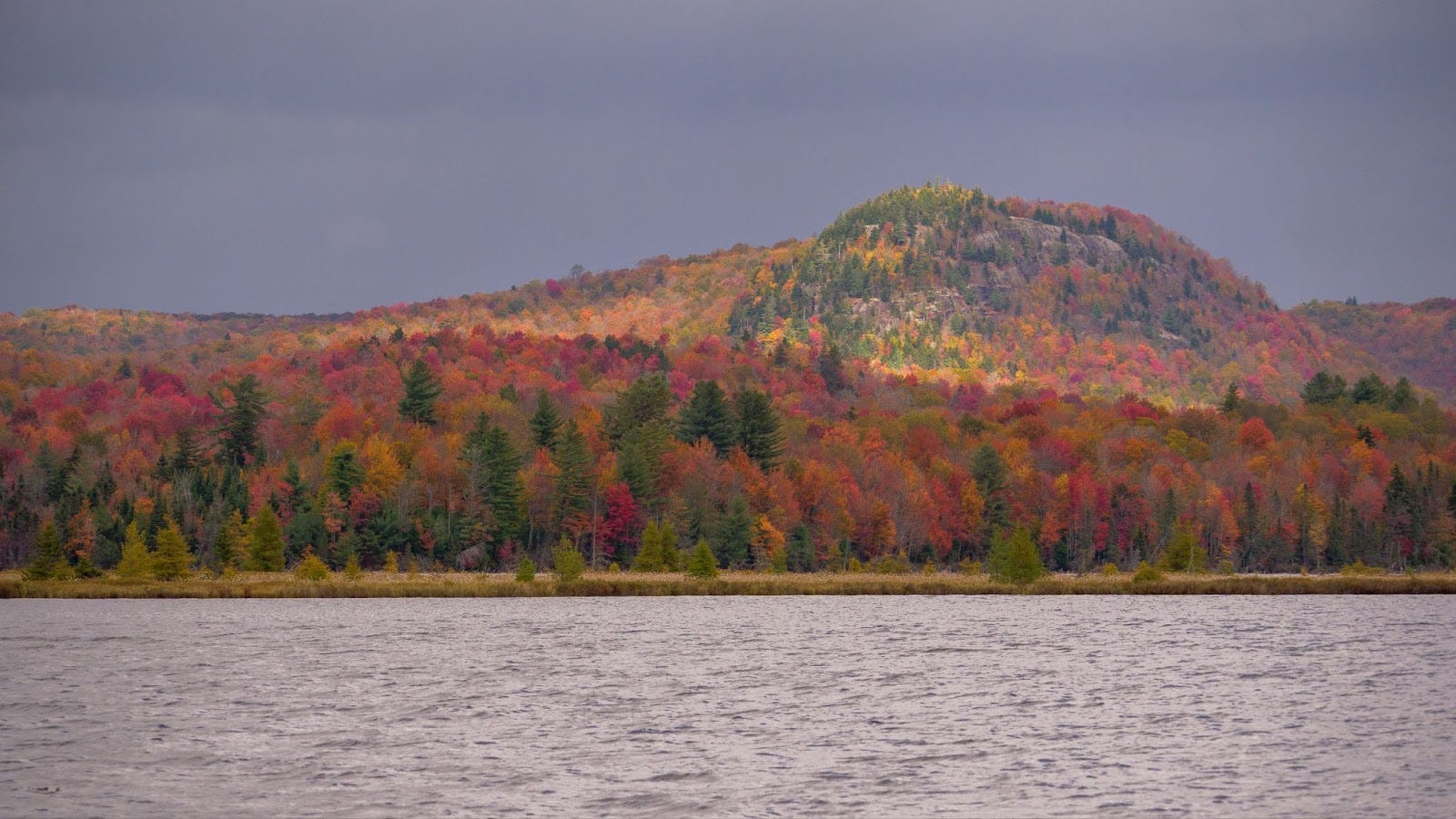
Grass Pond Mountain. I had planned to make the short hike up to the open rock on this mountain but was deterred by heavy rains.
Several nice days allowed me to wander the hiking trails that start at the far western end of the lake. Up to Cowhorn Pond one day and towards fishpole pond on a second day. Also unusual was that the winds were generally calm which allowed for leisurely trips around the lake. I poked around and moved to different campsites a couple of times to see more of the area.
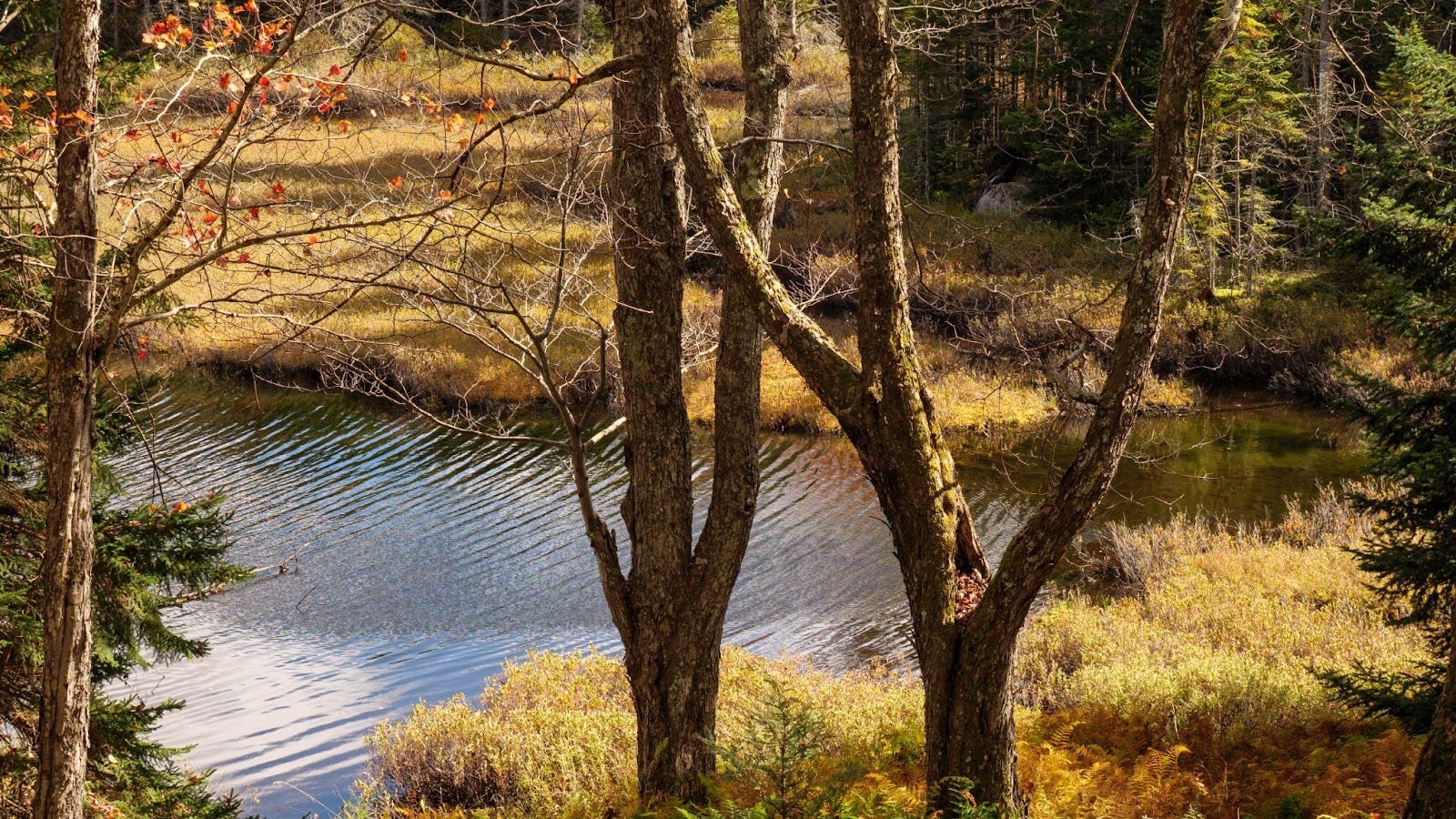
A glimpse of Slender Pond along the little used trail to Cowhorn Pond from the Oswegatchie River canoe carrry.
While on the water I sometimes had a cell signal and that allowed me to keep an eye on the weather. But the forecast held with only a chance of scattered shows showing for the latter part of the week. It's only now that I understand that "a chance of scattered showers" covers a wide variety of weather conditions.
Scattered showers might mean that it will be generally dry with a few periods of light to moderate rain. This is the preferred option. Or, it can mean that you will be startled out of your skin by an unexpected crash of simultaneous lightning and thunder followed by an intense thunderstorm with hail and torrential rain. That storm appeared with no rumbles in the distance to warn me. I was caught completely off guard.
But it was the last option that really got me. The morning following the thunderstorm I checked the forecast again and it continued to call for scattered showers. By noon it was pouring and it rained heavily throughout the afternoon, through the night and into the next morning. Multiple inches of rain fell. This is the least preferred option.
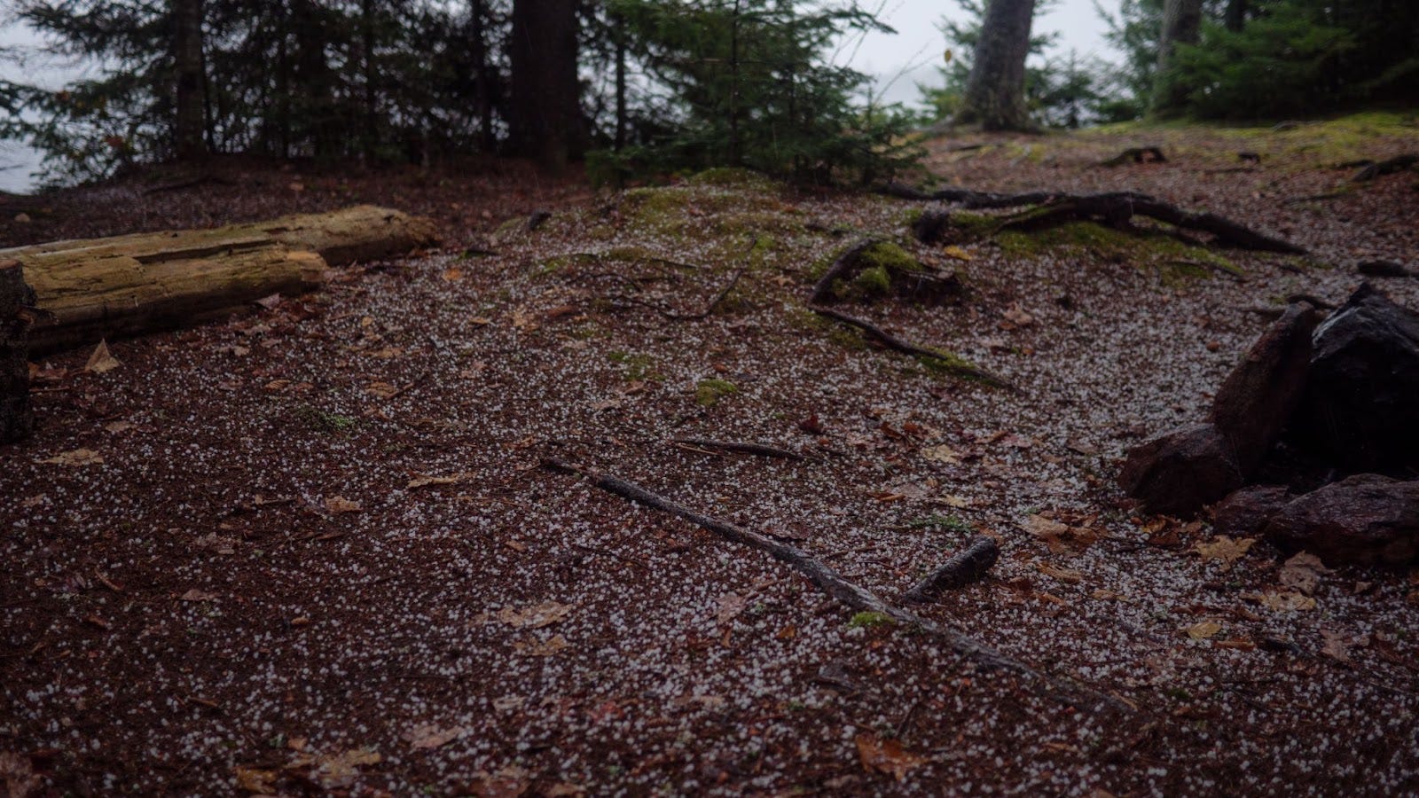
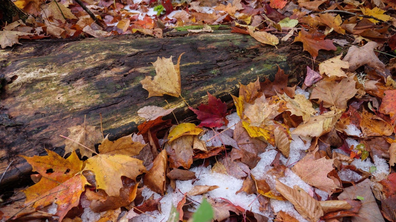
Hail fell during the unexpected thunderstorm. In sheltered places it hung around until the next day.
Packing for this trip, and anticipating the longish walks with the canoe on the carrier, my kit was closer to what I usually take backpacking than what I would take on an extended canoe trip. So I didn't have the heavy tarp I sometimes take, or a lot of extra clothing. Suffice it to say that after the deluge, everything was wet.
I had planned to come part way back on the day with all the rain but instead hunkered down trying to stay dry. That left a long paddle from Grass Pond all the way down to the lower dam for the following day. But there it was, the car was waiting and as I packed up my gear a newly arrived group of four prepared to head out. The parking lot had reopened just that morning and I could see them trying to work out how it was that I was looking so wet and muddy.
Eventually I mentioned that I had been there all week and that the car had been positioned for me that very day. I also mentioned the chance of scattered showers. They looked a little perplexed by that, but off they went. If you want to enjoy the Adirondacks in October you can't let a little rain deter you.
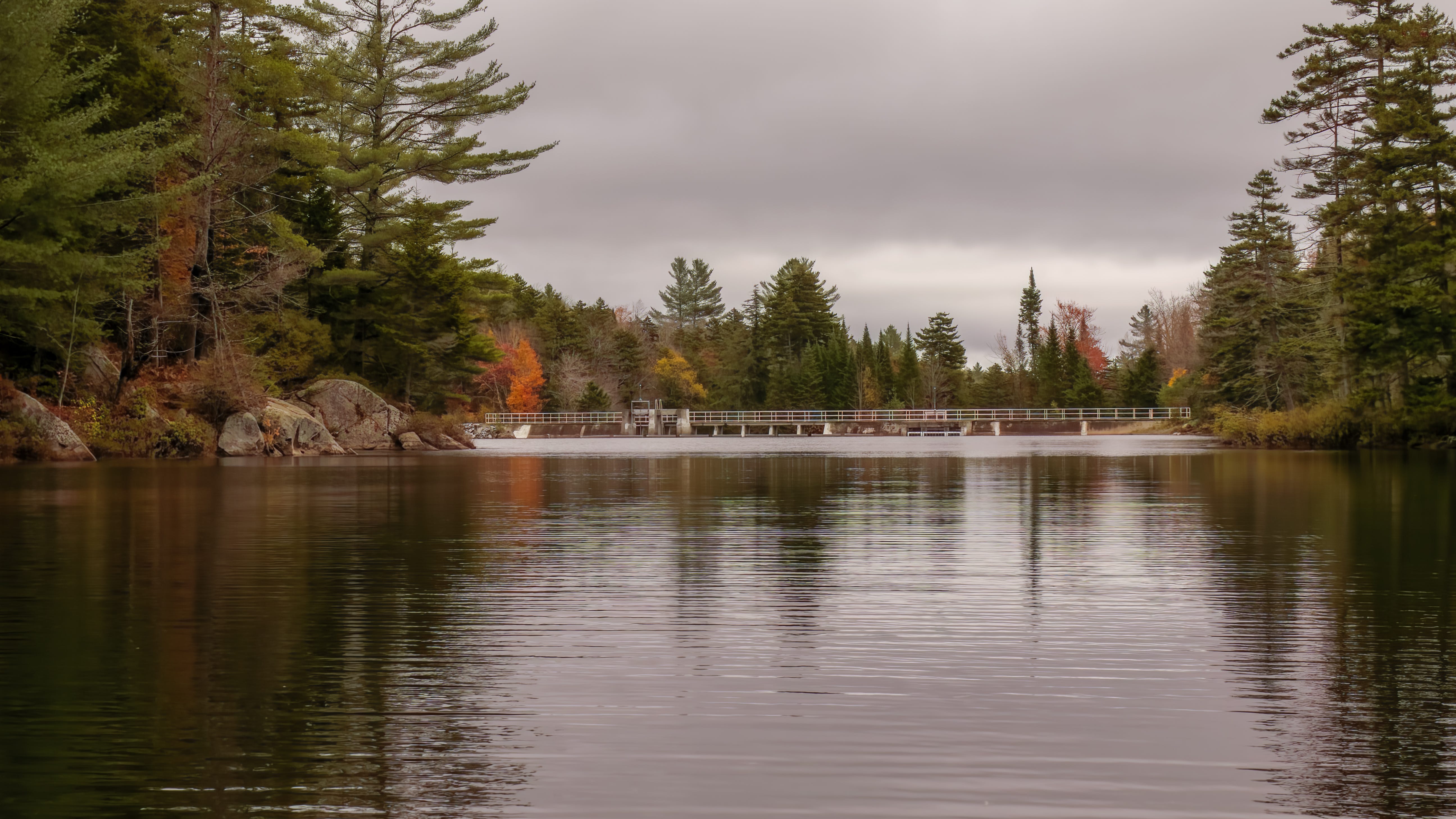
Approaching the lower dam at the end of my trip. After a two year closure the lower dam access reopened on Oct. 11th 2024.
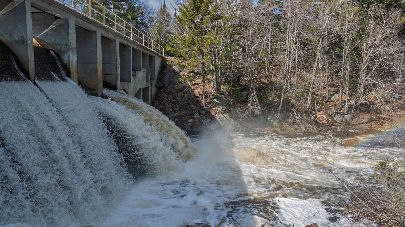
Lows Lower Dam, April 13, 2025. The road down to the dam and canoe put-in is currently closed for mud season but should be open by mid-May.
In July of the first year of the Lower Dam closure, my brother, sister, and I completed the Oswegatchie Traverse using the Hitchins Pond Overlook Trail/road. No wheels though, as they would have been of limited/no use on the longer carry to the Oswegatchie River. Double carries of gear and our solo pack boats would be the rule for us on our amphibious backpacking trip.
As we reached the Upper Dam, we encountered two men on their way out from a day trip (with wheels for their boats) and one solo man who had spent a couple days on the lake. They would be the last people we would see for 46 hours until High Falls where we encountered a family of four. The entirety of Lows Lake on a glorious July day was empty as far as we could tell.
We encountered a light rain on Lows Lake and just got into our tents on the Upper Oswegatchie before a torrential though brief thunderstorm drenched our campsite. Only our tent flies were wet in the morning, but everything dried out and remained so after setting camp up on the Lower Oswegatchie for our third and final night.
That trip was so fantastic that we repeated it last July since the dam was still closed, planning an extra night to move more leisurely on Lows Lake. This time we encountered a youth group at the Upper Dam. They came from Lake Lila and were planning to camp on Hitchins Pond before returning. We also leap-frogged a man and his dog along the Oswegatchie Carry. He planned a loop and made the much longer carry from Cranberry Lake to Lows Lake, making our 2 mile walk on a road seem, well, like a walk on a road. We stayed two nights on Lows Lake, planning a hike up Grass Pond Mountain. But an approaching storm on the first day required us to camp just past the floating bog. And a similar storm the next day put us in camp on the western end of the lake rather early. No climb up Grass Pond Mountain for us either!
There were more people at High Falls; two different groups had come up from Inlet and were camping there. One kind soul insisted on helping us carry our gear to the put in below the falls and even shared some of his ice-cold beers with us. Possibly the finest beer of my life. He turned out to live 10 miles away from me back in Pennsylvania, more evidence of the small world we sometimes live in.
While we had hoped for more solitude during that second trip, it was enjoyable to share the trail/water for brief periods with like-minded folks.